
Navera at Mayfield Village Location: Countryside Drive & Torbram Road, Brampton
Navera at Mayfield Village is located at Countryside Drive and Torbram Road in northeast Brampton, Ontario, with a postal reference of L6R 0L5. The site is northwest of that intersection, in the growth corridor near Mayfield Road, about 7 minutes by car from Highway 410 and roughly 20 minutes from the Bramalea GO Station, based on third-party drive-time estimates.
The Navera at Mayfield Village location is the northeast Brampton intersection of Countryside Drive and Torbram Road, northwest of the corner, with postal reference L6R 0L5. It sits in the city's northern growth corridor, south of Mayfield Road, rather than in downtown Brampton or along the Mayfield Road and Dixie Road corner used by a different community.
Map
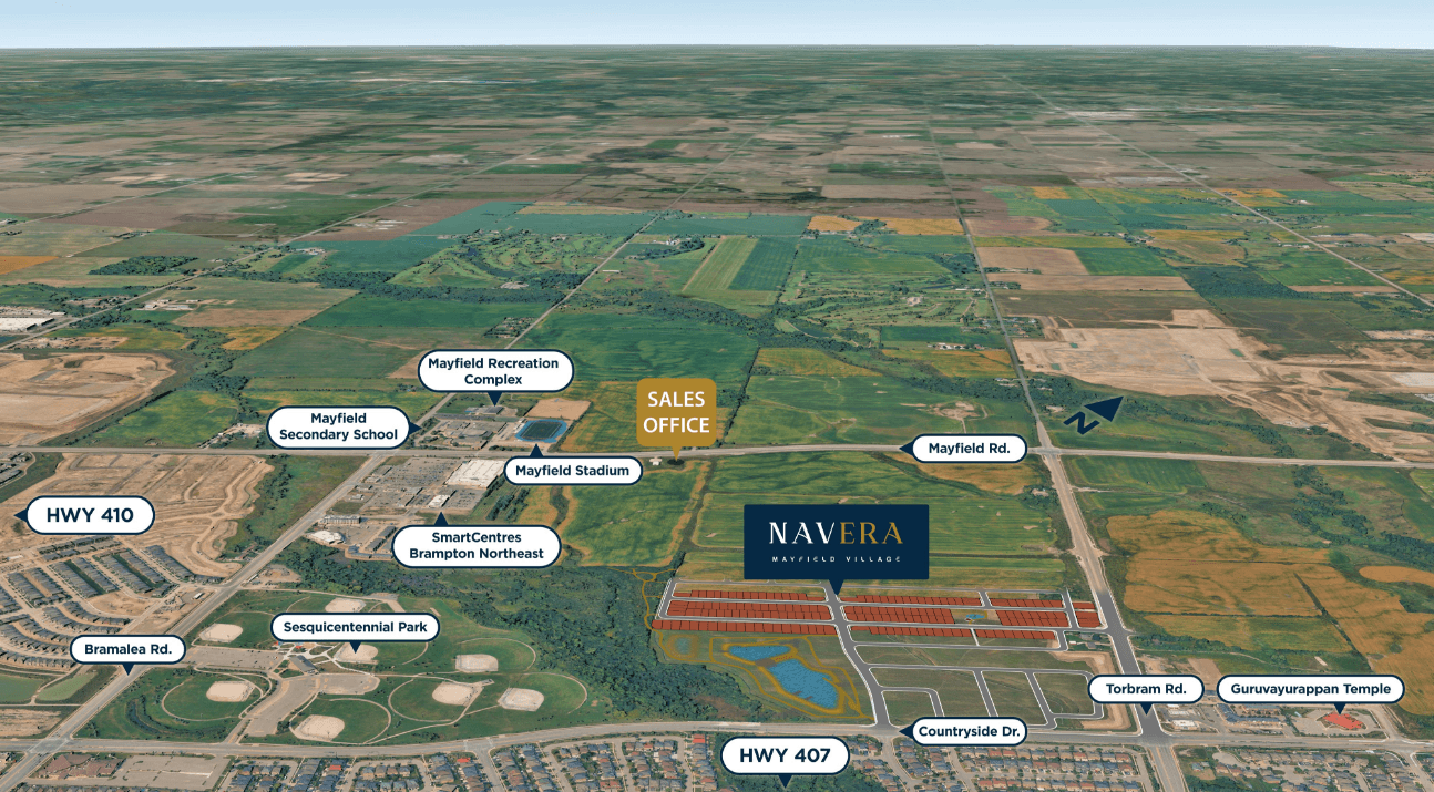
Map shows the general area. The exact project location may vary. The pin is centred on Countryside Drive and Torbram Road, Brampton. It is not a surveyed lot line and it is not a sales-centre address. A sales centre address is to be announced.
Drive times
| Destination | Approx. drive |
|---|---|
| Sesquicentennial Park | 2 min |
| Mayfield Recreation Complex & Arena | 4 min |
| Brampton Civic Hospital | 7 min |
| Highway 410 | 7 min |
| Trinity Common | 10 min |
| Heart Lake Conservation Park | 11 min |
| Chinguacousy Park | 13 min |
| Bramalea City Centre | 14 min |
| Bramalea GO Station | 20 min |
| Highway 407 | 20 min |
| Pearson Airport | 23 min |
The times below are third-party estimates published for this project, restated as approximate off-peak drives. They are a way to compare destinations, not a promise about a weekday commute. Traffic on Highway 410, Bovaird Drive, and Torbram Road changes the result.
Transit and highways
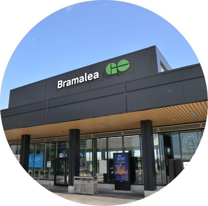
Highway 410 is the closest 400-series highway in the builder's description, with a third-party estimate of about 7 minutes in off-peak conditions. Highway 407 is estimated at about 20 minutes. The builder cites future Highway 413 as a long-term connectivity factor; its timing is outside the builder's control and unconfirmed. Brampton Transit and Züm bus service operate along major nearby corridors, which matters for daily trips that do not require a car. Bramalea GO Station sits at Steeles Avenue and Bramalea Road and provides rail service toward downtown Toronto. The same third-party estimates put that station about 20 minutes away and Toronto Pearson International Airport about 23 minutes away.
For a door-to-door commute, compare the drive to Bramalea GO with the bus trip to the station and with driving the whole way. GO train frequency, bus routing, and parking rules are set by the transit agencies and can change. This page does not publish a timetable.
Schools
School questions are also in the Navera Brampton FAQ.
Named schools in third-party project listings are Eagle Plains Public School and Mayfield Secondary School. That source note matters: the builder's own page gives counts rather than a catchment list. The builder cites 23 public schools, 8 Catholic schools, private options, French Immersion, and International Baccalaureate and vocational programs, including newer schools that serve growth areas. No school ranking is shown here.
Verify catchment boundaries with the Peel District School Board and the Dufferin-Peel Catholic District School Board. Boundaries change when new schools open. A listing that names a school is not an enrolment guarantee. Families who need French Immersion or an International Baccalaureate program should ask the board which nearby schools currently offer it.
Parks, trails and recreation

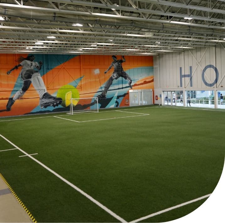
The builder's location notes name Sesquicentennial Park and the Chinguacousy Trail System, Torbram Sandalwood Community Park, scenic pond trails, and neighbourhood playgrounds, with Caledon countryside described as minutes away. Third-party drive estimates add Heart Lake Conservation Park at about 11 minutes, Chinguacousy Park at about 13 minutes, and the Mayfield Recreation Complex and Arena at about 4 minutes. The builder also names Save Max Sports Centre among nearby recreation. These are area amenities, not facilities inside a published Navera site plan. A site plan for the community is to be announced.
Shopping and daily needs
The builder names Trinity Common Mall, SmartCentres Brampton Northeast, and Bramalea City Centre, plus plazas along Airport Road, Bramalea Road, Torbram Road, and Bovaird Drive. Third-party neighbourhood notes also mention Walmart, FreshCo, and Fortinos in the wider area. Trinity Common is estimated at about 10 minutes and Bramalea City Centre at about 14 minutes, off-peak. Grocery and pharmacy choices on a specific plaza should be confirmed in person, because tenants change.
Health care
Brampton Civic Hospital is the hospital named for this area. Third-party estimates put the drive at about 7 minutes off-peak. Hospital campuses, urgent-care hours, and family-practice availability are not controlled by the builder and should be checked with the provider. Community parks and sports fields are part of the same everyday map, alongside Save Max Sports Centre.
Is this the same Mayfield Village as the Regal Crest community?
No. Navera at Mayfield Village is a Digreen Homes community at Countryside Drive and Torbram Road in Brampton. A separate community called Mayfield Village, built by Regal Crest Homes near Mayfield Road and Dixie Road, offers townhomes and singles of different sizes. The two share a neighbourhood-style name but are different projects by different builders in different locations.
The same answer is in the Navera Brampton FAQ.
About the area
Neighbourhood guides describe a historical hamlet of Mayfield Village at Mayfield Road and Dixie Road. The wider name now covers a collection of newer subdivisions, with Highway 410 on the west side of this part of north Brampton. Navera at Mayfield Village uses that neighbourhood name and sits at Countryside Drive and Torbram Road. It is not the Regal Crest Homes community near Mayfield Road and Dixie Road. Use the builder name and the intersection together when you compare listings. The City of Brampton's own maps and planning notices remain the municipal record for roads, parks, and development applications: brampton.ca.
Register for Priority Access
Registration is for release updates. It does not change the location or hold a lot.